- Hiked to mile 458.5--This leaves 108.5 to Mojave
- It was good talking to Garrett with Becky and Garrett
- Garrett has been doing a lot of checking. The verdict:
- Right now the Sierras are DANGEROUS
- The epic snowfall means snow and lots of it. Several stream crossings are impassable
- People have been hurt, had their packs swept down river, or had everything soaked.
- It certainly looks like a complete thru-hike from Mexico to Canada is NOT a reality. Only a very few have the skill-set and conditioning level to pull this off

- We will regroup when I get to Mojave and possibly again when I get to Lone Pine.
- For me to enter the Sierras there needs to be a warm spell to melt a lot of now and send a lot of water downriver. I'm not going into the Sierras unless I am assured the streams and mountain passes are safe for an old codger
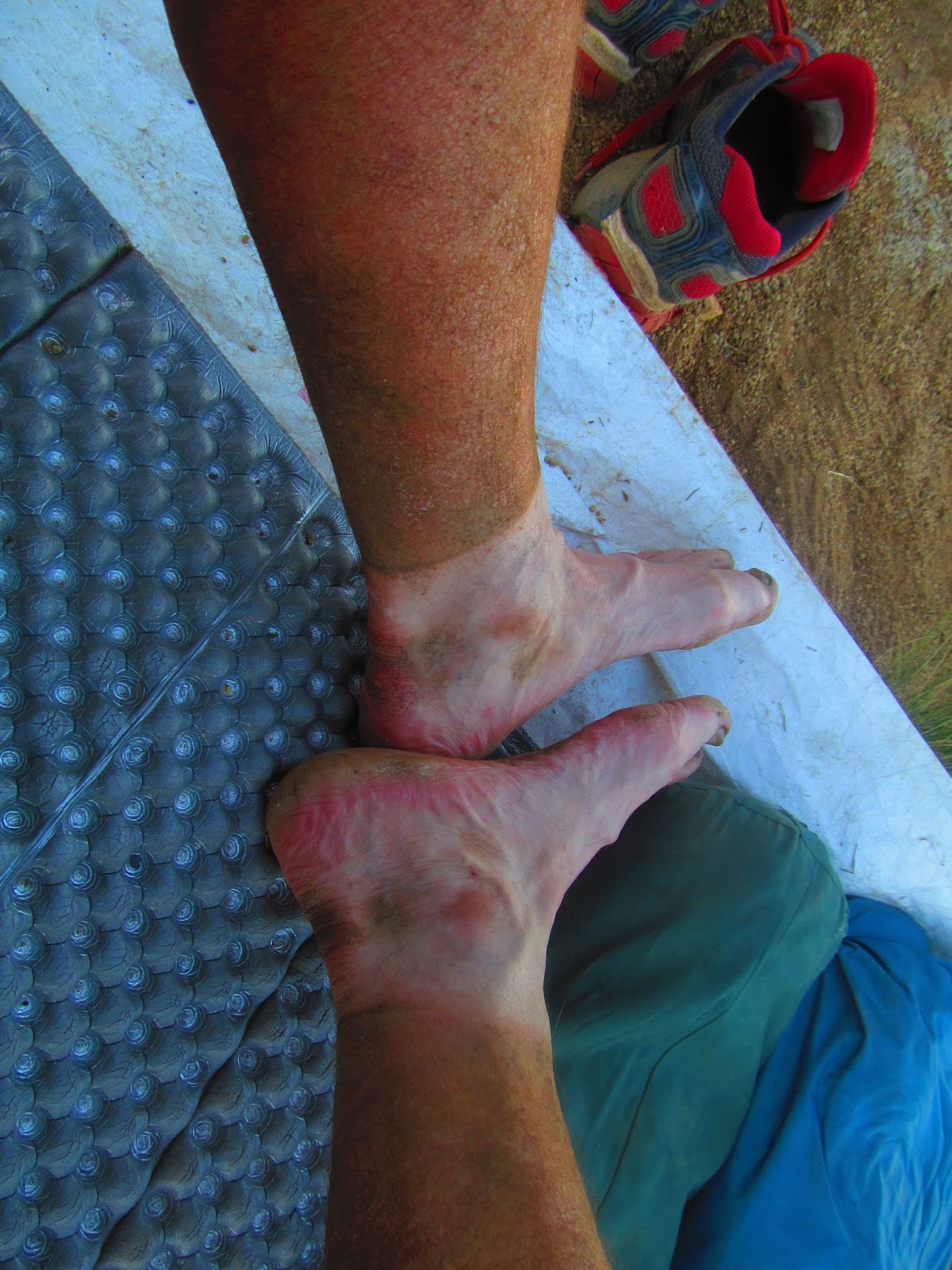
- After 2-3 days of a light pack, my pack feels like it weighs a ton. Food heavy and water heavy. I'm taking the hospital verdict seriously--"eat more and drink more"
- Hiker Heaven in Agua Dulce is amazing:
- Extremely well organized space and system
- Hut for showers; hut for internet and charging phones; hut for sewing, making repairs, and priority boxes for shipping things home or uptrail. Trailer for cooking and watching movies. Outhouse for . . . ; racks for hanging packs.

- Just met Lisa from Sweden. She is just getting on the PCT. Very nice young lady. I hope the Sierras clear up so she can see the magnificent sights. I would like that too.
- With the ten miles getting to Agua Dulce and four more this evening, I had a fourteen mile day. All according to plan.


Sun 6/11 Day 31 Full month completed


- Started at mile 458.5--sandy wash
- Ended at 478.2--paved road-------->19.8 miles
- Cloud bank, high winds, cool all day long
- Left camp at 4:38 AM. Finished hike a little before 2:00 pm
- Not having fun with this wind
- Having some incredible gusts
- Ate dinner at Green Valley Fire Station as there is a little windbreak and water
- Found a sandy wash between PCT and Green Valley Fire Station for setting up camp
- Many hikers were headed to the Andersons for the night
- The Andersons are Trail Hosts and call their setup Casa de Luna. I am okay camping alone. A 63 year old man just doesn't fit in with folks in their 20s and early 30s
- Mojave--my next town stop-- has become important
- New shoes

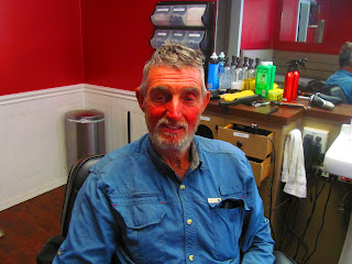
- Hair cut and Shave
- Regroup with Becky and Garrett about the Sierras and forward planning
- One of the helpers at Hiker Heaven was Jack Wallace. He spent some time in Ephrata and went to school with Ed Hamlett. Small World.


Mon 6/12 Day 32
- Started in the sandy wash 478.2 -- Ended at 500.2 22 miles--not counting the 1.6 mile mistake
- Last night, it was windy--very windy--one gust would have taken the tent had I not been in the tent.
- Then it got calm and hit dew point. Everything got wet.
- Then it got windy again
- Cold and windy early
- At 495.5 there was water at Upper Shake Campground. The ONLY water for 15 miles in either direction. The junction was not marked " water" or "camp ground." I overshot the junction by 0.8 miles and had to turn around and retrace my steps to get back to the junction--1.6 mile mistake.
- I read a note--a couple of guys are to celebrate reaching 500 miles on the PCT with a shot of bourbon. Not bad, but I've got 'em beat. I celebrated by eating Texas Brisket. I did the BBQ and dehydrated it. Unless you had a special dinner, my dinner beat yours. It was plum good.
- Agua Dulce is where Hiker Heaven is and mile 518 is where Hikertown is. Both places are very nicely set up for hikers. I spent a few hours at each, but did not spend the night at either.
- I saw very few hikers today until Hikertown
- I hiked 5 miles on the Aquaduct this evening. The Aquaduct delivers water to LA.


Wed 6/14 Day 34
- Left camp a little before 4 AM as it is supposed to be hot. Made it to Tyler Horse Canyon--mile 514.6 (18.4 miles)
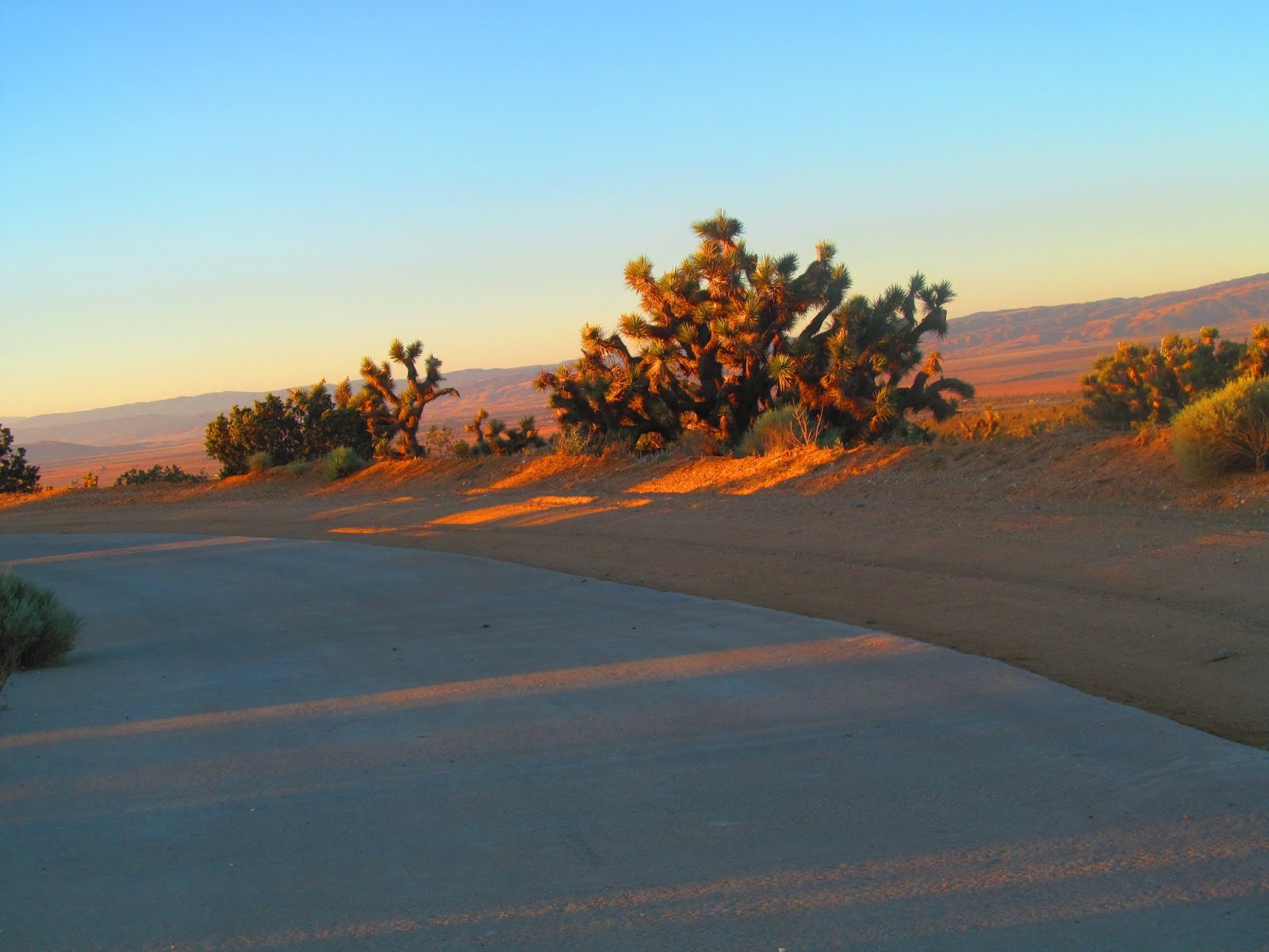
- Hiking the aquaduct was different--fast miles, a lot of flat ground, long stretches were perfectly straight.
- Long lunch break 12:15-4:20
- Started 523.16 ended 546.43 (23.27)
- Interesting incident during lunch break at Tyler Horse Canyon. A hiker said, "Wayfarer, he's headed toward you." I looked up and saw a yellow and black snake (non-poisonous) made its way around my pack and between the tree and me. Probably less than a foot away.

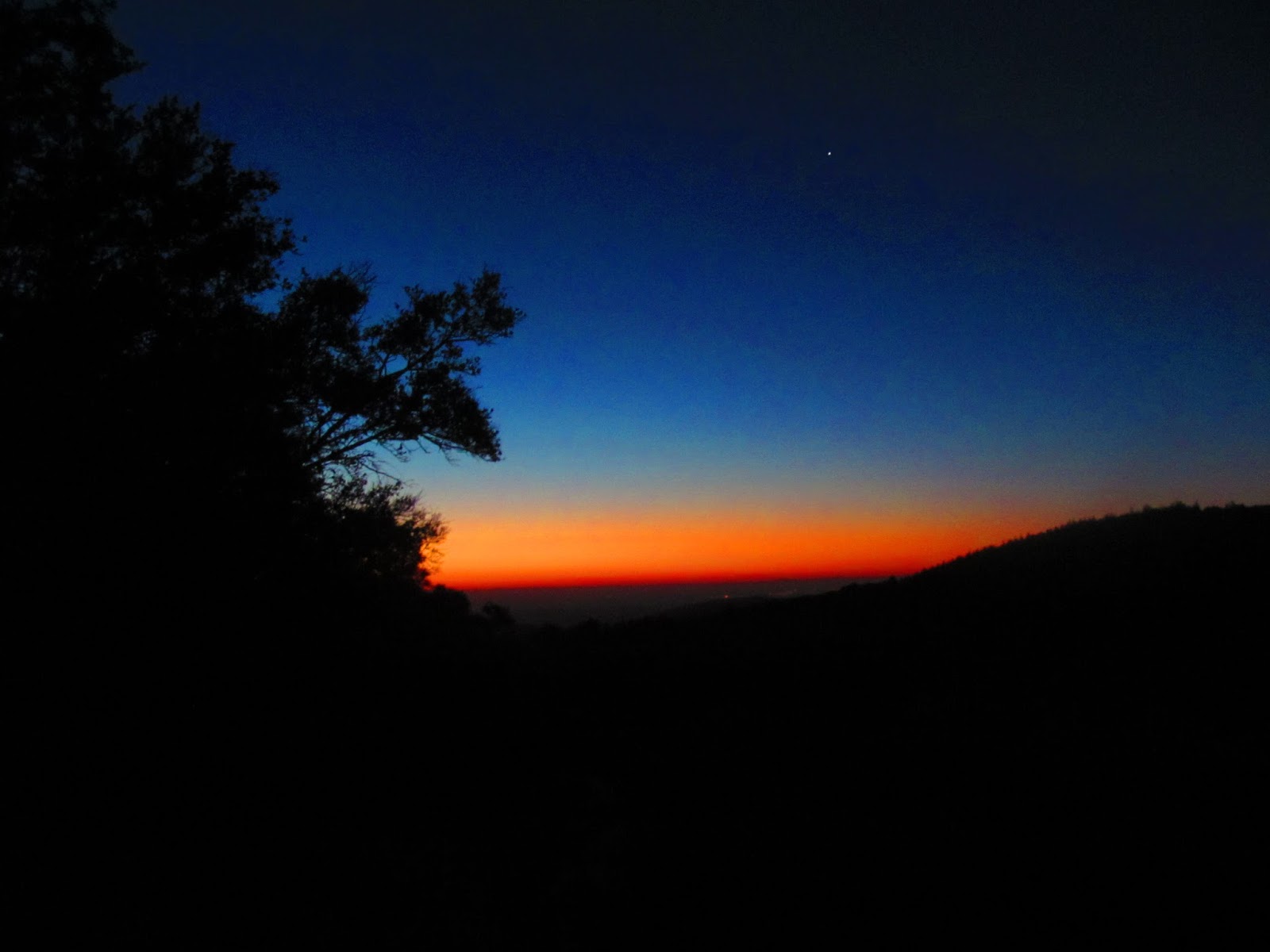
- Camp with a view: My camp tonight has a great view--the wind farm, the area where I hiked the Aquaduct. Elevation about 5300 feet. As it got dark, the wind farm towers were blinking red lights warning aircraft to stay away.

Thurs 6/15 Day 35
- Beautiful night--stars, lights from towns and wind farm--started hiking at 4:15 AM I finished the long climb I started yesterday afternoon. Parts of the climb were not fun--very steep side slopes with loose sand. Foot placement was critical
- Started 446.3. Ended at 566 at Tehachapi Pass
- Made it to Tehachapi Pass before 1:00 pm. Not bad--20 miles before 1:00 pm
- Caught the bus to Tehachapi--at BBQ and had a haircut and shave. Had before and after pictures taken.


- On the way to the bus stop, I ran into Gilbert from Yakima. I camped with Gilbert, Jessie, and Holly early in the trip. He said others were also Tehachapi--Flask, Captain Planet, Beth and David. With a lot of my friends in Tehachapi, it was hard to get on the bus for Mojave. Had to do it, though, to get my resupply box.


Fri 6/16 Day 36


- At Mojave trying to get organized, talking to Becky and Garrett. The plan: a resupply box (actually will be sent in a bear canister to Lone Pine) Garrett will send his ice ax as mine weighs a ton.
- The upcoming driest section of trail will be tough as daytime temperatures will be 100*+. First water is 17 miles in and over a five-mile stretch, the PCT gains 2000 feet of elevation. Then there are waterless stretches of 19 miles, 11 miles, and 24 miles. All doable, but I'll need to camel up at the water holes and then hike with all diligence to the next water hole. After Walker Pass, mile 652, the water and temperature situation should get better. And maybe more snow will melt and more water flow down the rivers in the Sierras BEFORE I get there.
- How long will it take?


- On a car trip, kids will ask, "Are we almost there?" "How long until we get to Grandma's?"
- How long will it take to do a hike? The classic answer to many things, "It all depends. . . "
- The easy answer is a formula
- Hiking pace (mph) X hours hiking = miles/day
- But it ain't that easy. Here are some things that affect miles hiked in a day.
- Tread of the trail--smooth, firm dirt; loose sand; rock
- The hiker--how fatigued; frequency and duration of breaks, motivation to get to destination (town)
- How heavy the pack--When I'm carrying six days of food and 3 or more liters of water, my pack is heavy and my pace is slower.
- How steep the trail--PCT is supposed to be graded for horses. Most of it is. But it ain't all PCT grade. Some of the PCT is darn steep!
- Obstacles slow you down--big steps up or down, boulders, blow down (trees), stream crossings.
- I notice these things more now because I'm older, and my conditioning declined while recovering from 2014 leg injury.


Kevin, you are like a superhero. You are reaching for goals that few of us can aspire to. Your persistence, wisdom, and planning are paying off. What an amazing experience to view our natural world from a more primal and primitive perspective!
ReplyDeleteThings that stand out to me:
ReplyDelete1. Despite the reports of the danger in the Sierras, I believed that Dad should at least go have a look. Many of these reports come from people who haven't seen snow until the PCT. On my hike, I heard of terrifying passes, chest deep stream crossings, and many other life threatening hazards which I found mundane. The only person who can judge if the Sierras are above Dad's ability is Dad and he has to see it before he can judge it.
2. Dad is doing just fine connecting with younger thru hikers. Age only matters on the trail if you let it. I hiked, camped, and got along with people as young as 19 and as old as in their 60s. Dad seems to have spent more time around other hikers than I did and has gotten along with hikers from all age groups. That said, I don't think Dad would have liked Casa de Luna very much.
3. Tehachapi is a nicer town that Mojave, but Mojave is cheaper and less spread out. Most thru hikers choose to go to Tehachapi, but Dad is a miser and chose Mojave. I did as well, but a trail angel gave me a ride to Tehachapi where I spent time with several friends. Dad missed out on that, but other opportunities will arise.
4. Dad really picked up the pace. His average day including zeroes and neros before Agua Dulce was 15.7 miles. This last section, he pulled his average all the way up to 16.5 miles. He had four days in a row of 20 miles or more and another day was 19.8 miles. Interesting to me, I slowed down in that section because I tried to night hike. So far, my slowest section was Dad's fastest.
I've been reading posts on the John Muir Trail Facebook page. Please be careful (I know you will) and make the right choice. Right now it seems really dangerous!
ReplyDeleteKeep it up Kevin, doing really well! Praying for you daily and keep walking but not if it is perilous!! Your face is quite sunburned! Sleep well and walk fast under control---keep that balance, don't do a crazy Kevin extreme thing!!
ReplyDeletethis is very helpful post.thanks for sharing: learn more
ReplyDelete